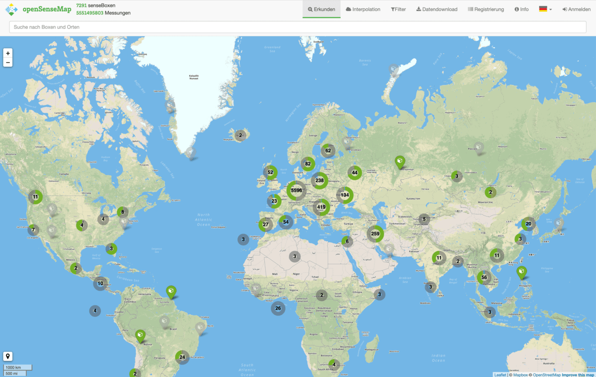
The openSenseMap is our web portal for open data of all kind. Each measurement by a senseBox will be collected here and can be visualized and downloaded. All published measurements are available as open data under the Public Domain Dedication and License 1.0.
Analyze environmental data
OpenSenseMap gives you access to billions of measurements. View historical measurements, create simple graphs, compare measurements from different locations, or download the data to your computer for analysis.
Open API
The open API provides access to all sensor data for use in other systems. For example, environmental data is visualized in an exhibit at the Futurium museum in Berlin, and web platforms such as ArcGIS Online offer direct access to the measured values. In addition to sensor data from the senseBox, other measuring devices, such as those from the projects luftdaten.info or HackAir, can also send their measured values to the openSenseMap.
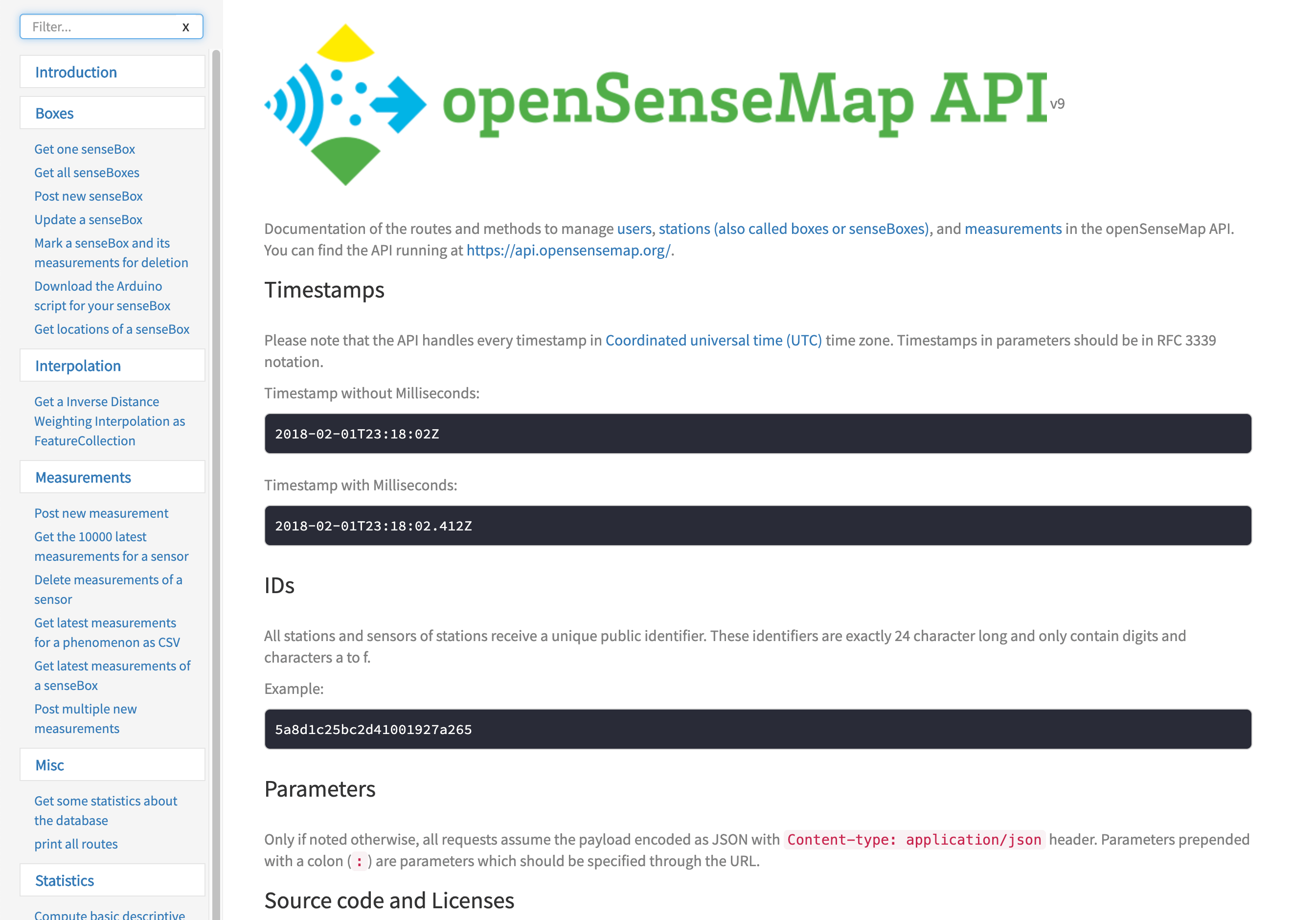
To API Documentation